Istorija umjetnosti Crne Gore
History of Art in Montenegro
Publisher: Crnogorska akademija nauka i umjetnostiEditor: Aleksandar Čilikov
Art editor: Lazar Pejović
Graphic design, layout and prepress: Adela Zejnilović
Graphic design and graphics: Sandra Đurović
Maps and illustrations: Ivana Vujošević
Printed by Golbi Print, Podgorica
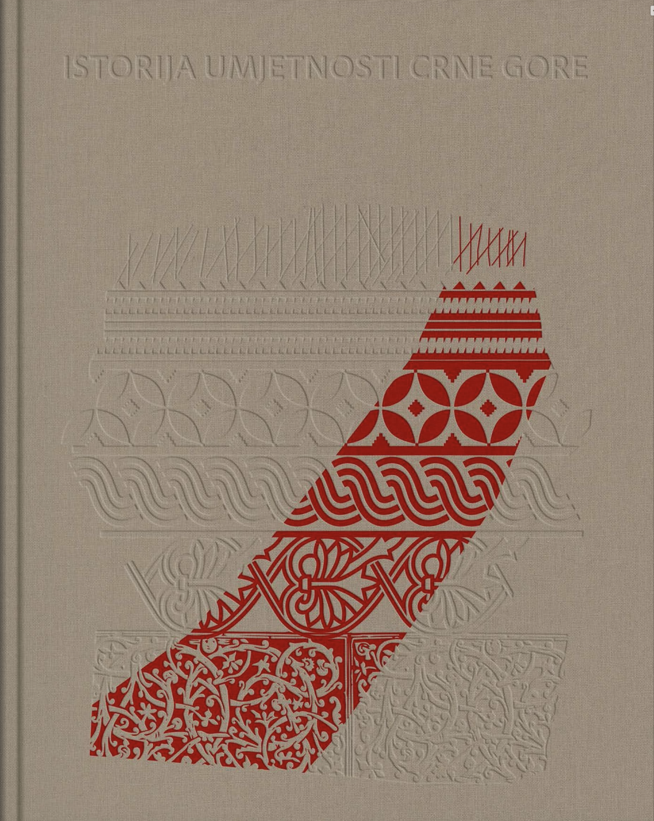
Cover of "Istorija umjetnosti Crne Gore", part 1
About the project
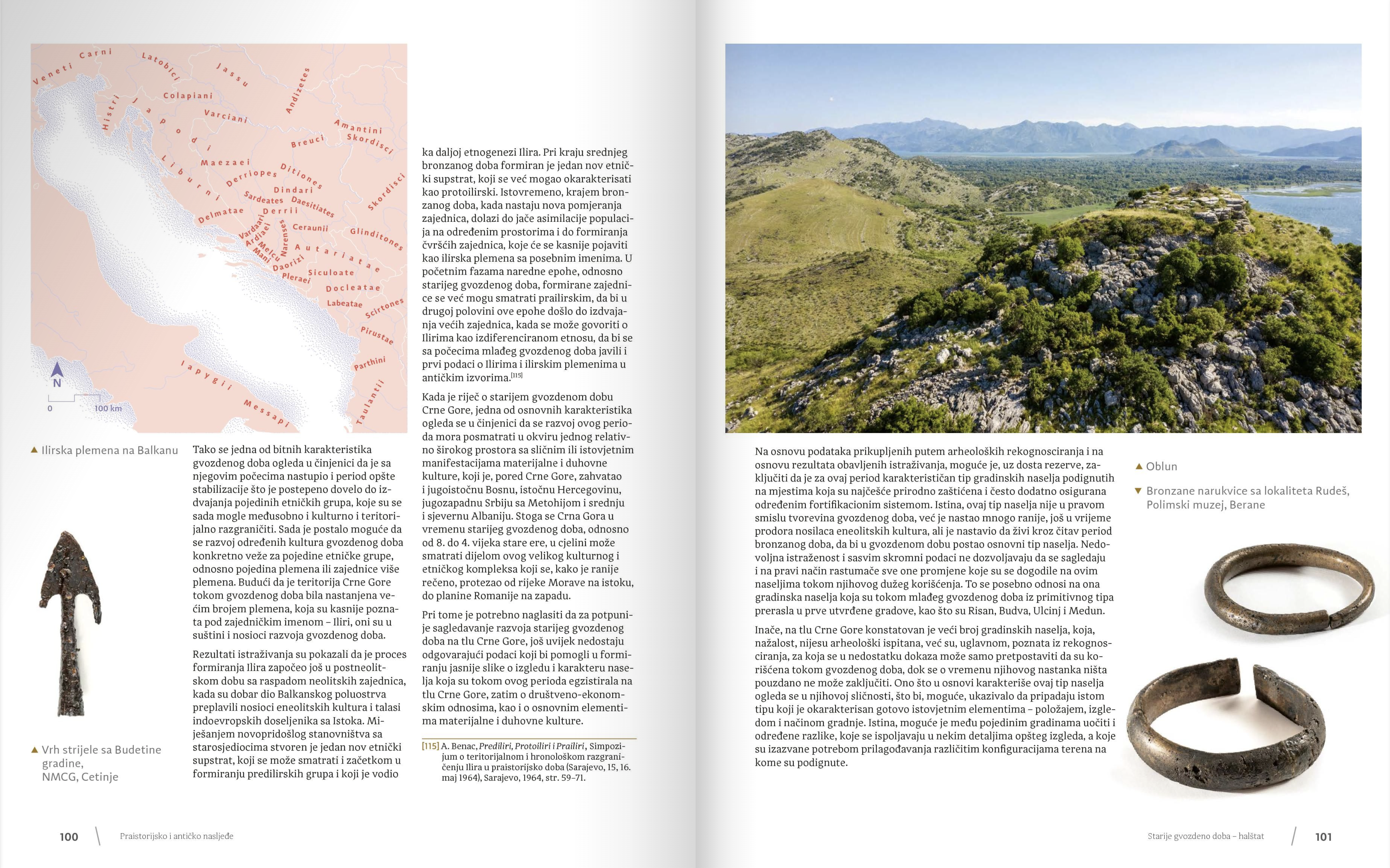
The History of Montenegro is a comprehensive three-part monograph published by the Montenegrin Academy of Art and Sciences (CANU). This work presents a visual and essay-based review of art, architecture, and artifacts from prehistoric times to the contemporary era. A substantial team contributed to the creation of this monograph, with my contribution specifically including illustrations, vignettes and maps. This page provides a review of the material presented in the publication.


Sketches for "Istorija umjetnosti Crne Gore", part 1
Illustrations
Illustrations are featured throughout the book in various forms, including vignettes, technical drawings that provide detailed information on archaeological finds, and three-page partition pages between chapters.
Illustrations are featured throughout the book in various forms, including vignettes, technical drawings that provide detailed information on archaeological finds, and three-page partition pages between chapters.


Spread examples from "Istorija umjetnosti Crne Gore", part 1
These illustrations emulate stippled field drawings of paintings, frescos, sculptures or artefacts carefully placed within the text. I edited a collection of photographs to resemble stippled ink illustrations, using a technique characterized by the density and arrangement of small square dots to convey shading and form effectively. Unlike traditional hand-drawn stippling, which uses round dots of varying sizes, this approach employs uniformly sized square dots, subtly indicating computer editing.
![]()
![]()
![]()

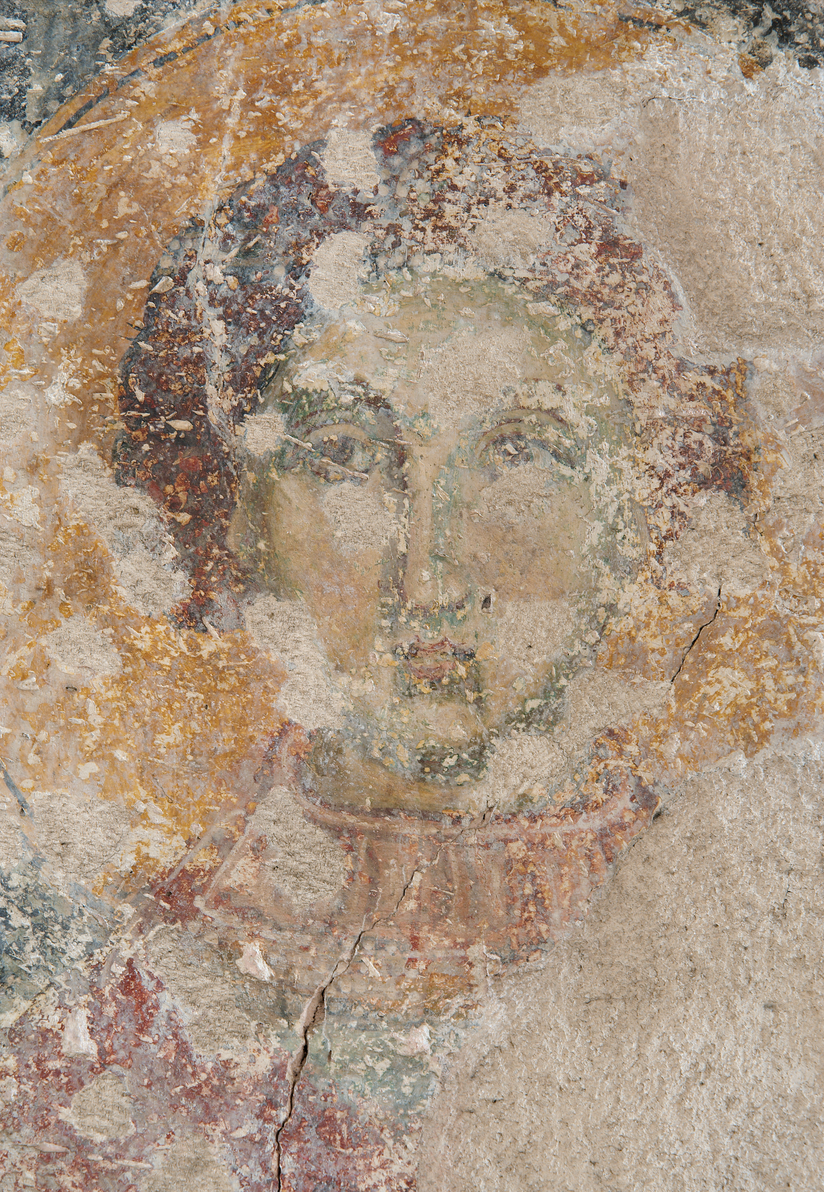
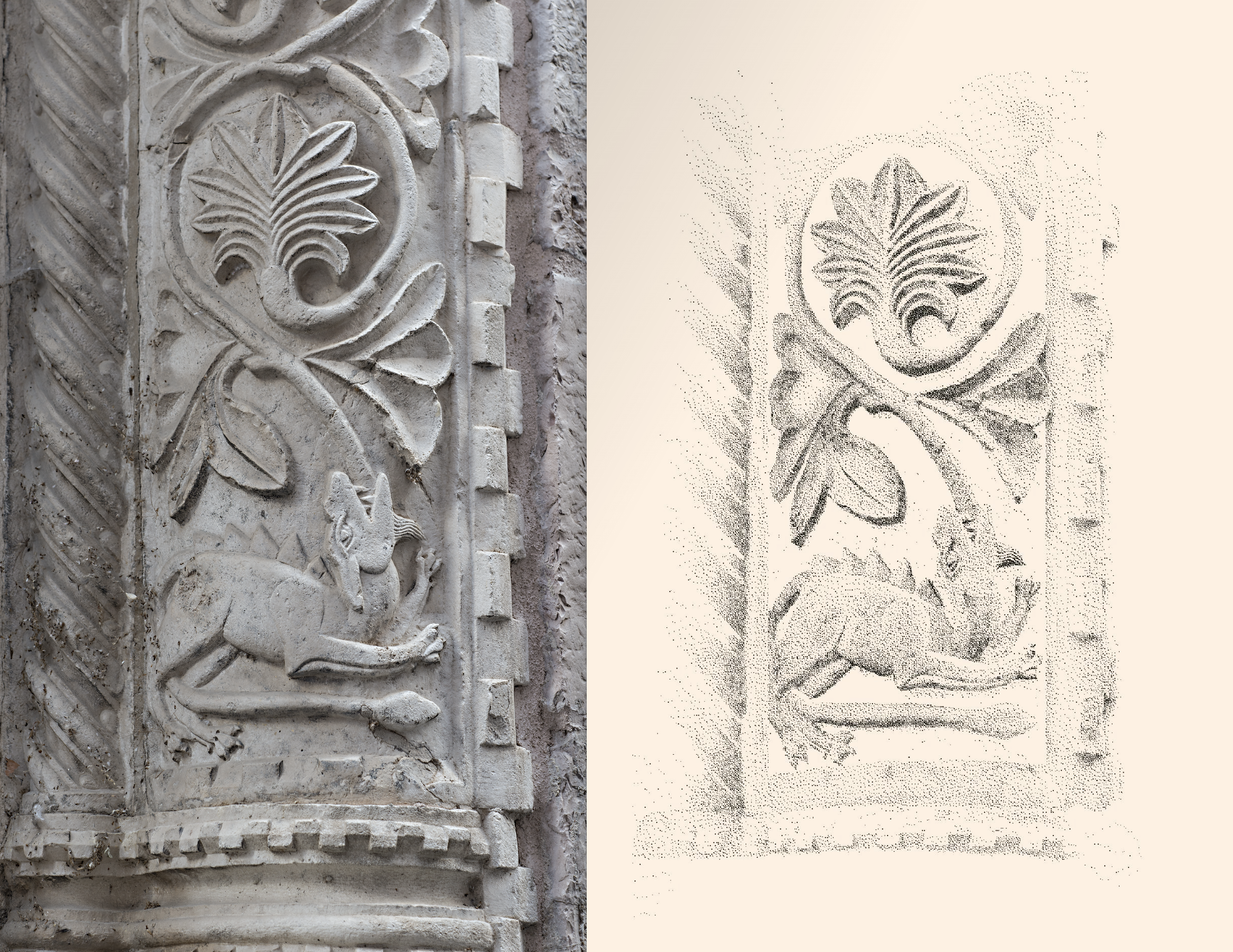
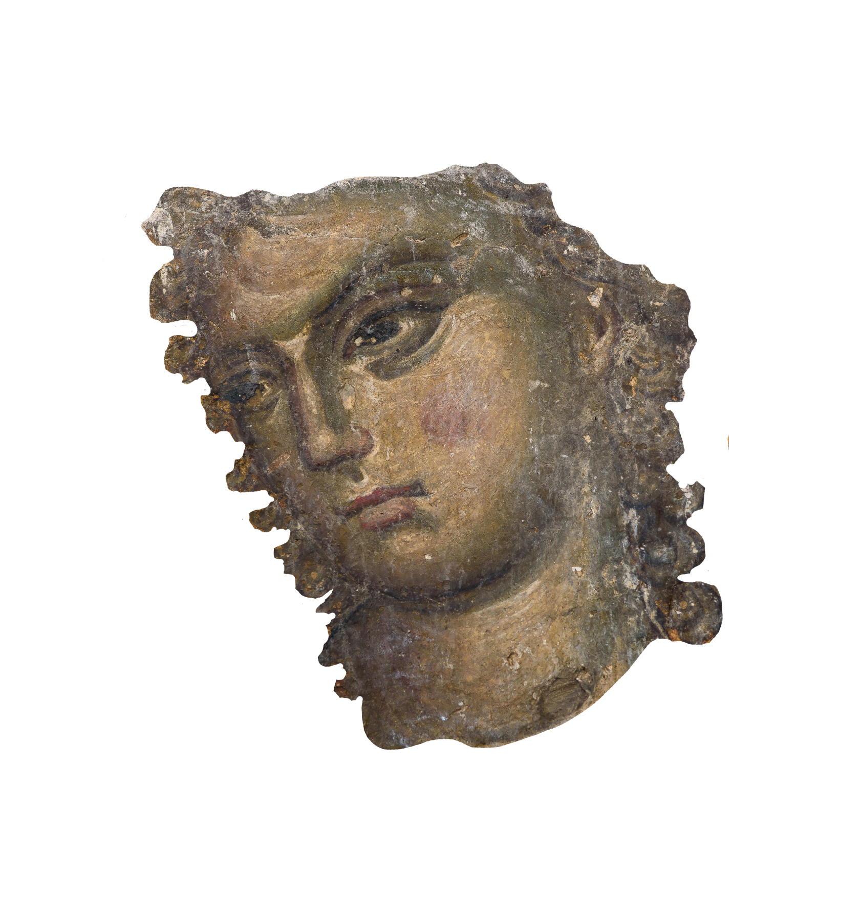

Illustration process for "Istorija umjetnosti Crne Gore"
When creating these illustrations, I aimed beyond just visual accuracy. I focused on emphasizing key features. This approach, similar to that used in live drawing, ensures that the illustrations in this book are not just informative, but also visually engaging.
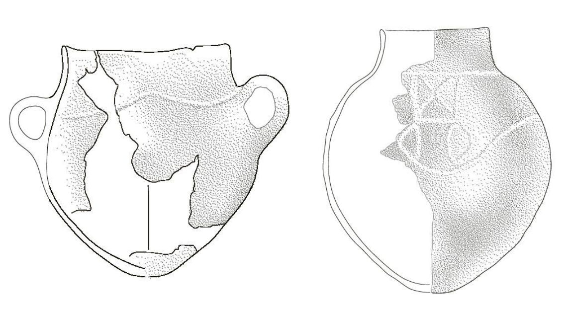
Illustration for "Istorija umjetnosti Crne Gore"


Map sketches for "Istorija umjetnosti Crne Gore", part 1
Maps
Maps in this series, particularly in the first part, play an important role in not just enhancing readability, but also in aiding in the understanding of geography. This facilitates comprehension of the chronological historical information presented, underscoring the value of the maps in your understanding.
The data for these maps was sourced and compiled from several authoritative databases, including NASA's SRTM database, Natural Earth, and OpenStreetMap (OSM). The historical information was provided and identified by Lazar Pejović.


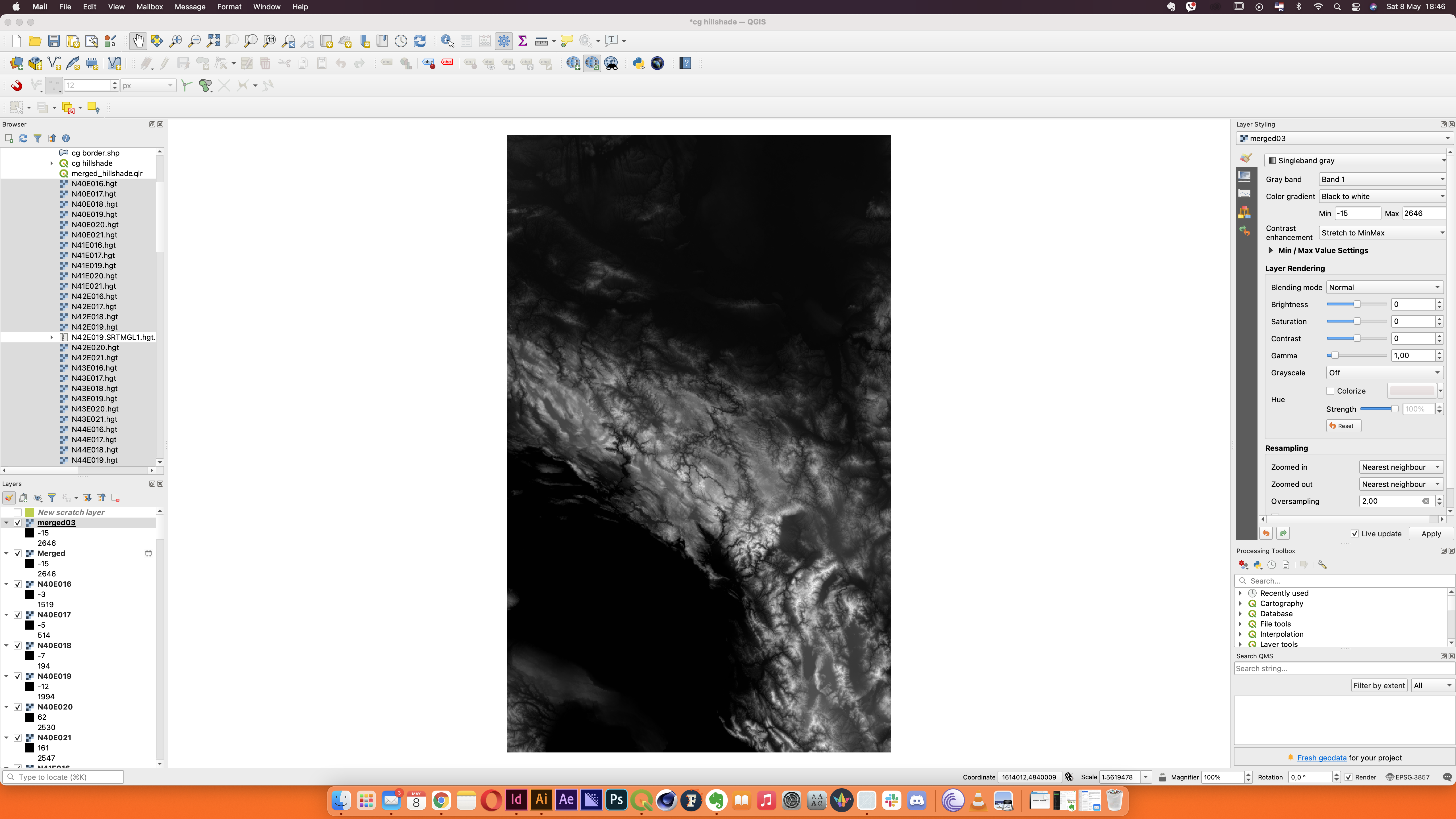


Map sketches for "Istorija umjetnosti Crne Gore", part 1
In designing the maps, I made stylistic choices to align them with the book's illustrations. Like the illustrations, the maps feature granulated, tightly stippled shading representing natural relief. All maps are unified by a predetermined salmon-red colour, ensuring consistency across the three publications.


